

Competing land proposals around Warnervale Airport came under the spotlight at Central Coast Council’s February 27 meeting.
Council’s advisory committee on the Coastal Open Space System (COSS) put forward a proposal to expand COSS into the northern part of the Coast.
The former Gosford Shire Council initiated COSS in 1984 in response to a Rural Lands Study that identified a number of pressures on non-urban coastal lands, including a reduction in the area being farmed in coastal valleys, rapidly increasing rateable values on rural land, destruction and deterioration of areas of high landscape and environmental values.
Part of the COSS strategy was to retain a green backdrop to many of the urban areas around Brisbane Water, and to ensure that most of the residents of the Gosford area live in the vicinity of natural environments.
Rumbalara, Kincumba Mountain, Putty Beach Reserve, Cockrone Lagoon and some lands adjacent to the Avoca Lagoon are COSS lands.
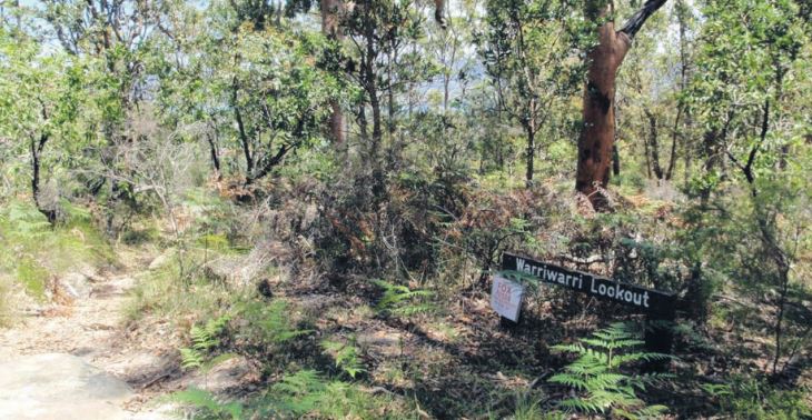
Now COSS has nominated Porters Creek Wetland and Warnervale Wetland as the preferred site to trial expanding the system into the former Wyong local government area.
The COSS committee argued that Porters Creek and Warnervale wetlands were one ecological unit only physically separated by a railway line and a proposed Wyong to Warnervale Link Road that would run parallel to it.
“The Porters Creek wetland is restricted and limited to the C2 Environmental Conservation zoned land and does not include any of the E4 General Industrial land associated with the Central Coast Airport or any industrial use,” the committee said.
It wanted Council to rezone some C3 Environmental Management land to C2 Environmental Conservation and to subdivide both 15 and 30 Jack Grant Ave, Warnervale, along the zone boundary to separate the Central Coast Airport and industrial land from Porters Creek Wetland.
In response, Administrator Rik Hart has given in-principle support but with provisos.
Hart has requested more information that will determine the appropriate approach for management of competing land uses on Council-owned land in the locality.
He wants a report that considers the COSS Advisory Committee’s proposal while also considering: the findings of the exhibited draft Warnervale Airport Masterplan, expected in the next six months; the proposed Warnervale Link Road; and the proposed Conservation Agreement for Porters Creek Wetland which has been put on hold until the airport masterplan has been adopted.
He wants to know about any other proposed infrastructure on Council-owned land in the area to avoid conflicts in land use and define appropriate boundaries for each intended use.
He also called for the public exhibition of the Warnervale Floodplain Masterplan, not expected until 2025, to measure community support, particularly among residents local to the area, for COSS’s proposal for the Warnervale Floodplain and Porters Creek Wetland.
“Although the recommendations of the COSS Advisory Committee are noted, staff have made an alternative recommendation to Council given that the recommendations seek to commit resources that are not available and are potentially inconsistent with other potential uses of the site,” Council said.
“Council’s resolution on the draft Central Coast Airport Masterplan may result in a change to the footprint of the airport, realignment of property boundaries and/or rezoning.
“In order to avoid a potential misalignment of Council resolutions on the airport masterplan and the proposed COSS Reserve trial, the extent of the COSS Reserve trial area should be defined after the footprint of the airport is adopted by Council.
“It is recommended that Council provide in-principle support to the proposed COSS Reserve trial but first consider other implications that affect the land proposed for the trial prior to implementing.”
Hart agreed with that recommendation.
Merilyn Vale