

The Northern Lakes Floodplain Risk Management Study and Plan to better manage flood risk has been given the green light by Central Coast Council with four main actions at Lake Munmorah, Canton Beach, Gorokan and Buff Point.
This plan focusses on overland flooding caused by excess runoff from stormwater drainage flowing into a waterway, as opposed to mainstream flooding when heavy rainfall bursts the banks of waterways.
Risk management for mainstream flooding is covered in another complementary action plan, the Tuggerah Lakes Flood Risk Management Study and Plan.
Council formed a working group in 2017 for the Northern Lakes Plan and Manly Hydraulics Laboratory was commissioned to complete it.
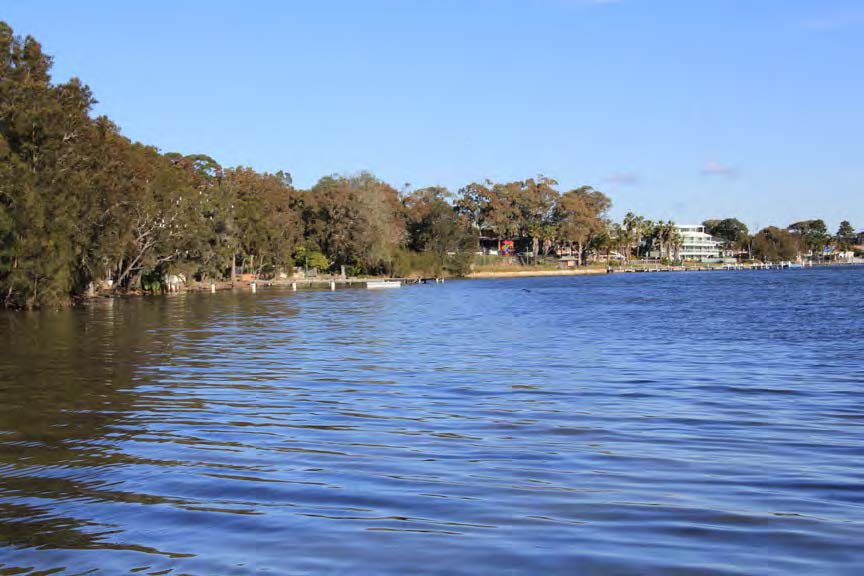
The Plan covers the 33.5sq km of catchments surrounding Lake Munmorah, Budgewoi Lake and the northern portion of Tuggerah Lake.
The aim is to build community resilience to flooding, identify flood mitigation works, emergency management plans, flood warning processes, land use planning and suitable design of infrastructure and buildings.
Total cost to implement the Plan is about $4.1M, with four main flood modification measures out of the 10 shortlisted.
The four main actions are to upgrade the pathway and culvert under Lett St in Gorokan, a channel excavation at Woodland Parkway Reserve in Budgewoi, Greenacre Rd culvert upgrade in Lake Munmorah and the Crossingham St culvert upgrade in Canton Beach.
A culvert upgrade at Lake Munmorah within two years and costing $829,000 would reduce water ponding north of Greenacre Ave and through Elizabeth Bay Dr, Mercator Cl and Mainsail Ct.
At Canton Beach, the $1.35M plan to be delivered within two years, is to improve drainage at three locations to allow water to drain to the lake.
The Plan rates work at Gorokan in the Gascoigne Rd and Mary St area as a high priority with work needed within a year at an estimated cost of $1.8M, which could include use of the park as a detention basin.
Excavation of the entrance channel at Woodland Parkway Reserve at Buff Point is also a high priority with action recommended within a year and costing $624,000.
Other locations raised in the Plan that needed attention were Wirriga Ave at Charmhaven, embankment construction along Budgewoi Dr at Noraville, upgrade of the detention basin at Gorokan Park and Cooranga Rd at Wyongah.
More actions in the Plan include improving the flood warning system, for example, the Toukley rain gauge could issue email/text message alerts when rain triggers are reached and a new gauge at Lake Munmorah.
Flood education is also a high priority which includes developing an accessible flood emergency plan template; installing signage at flood prone carparks and installing flood depth indicators at low points on roads.
Actions recommended in the Plan will be incorporated into Council’s Operational and Capital Works Programs with infrastructure works given priority, as the Budget allows and grant funding will be sought from the State Government.
Sue Murray