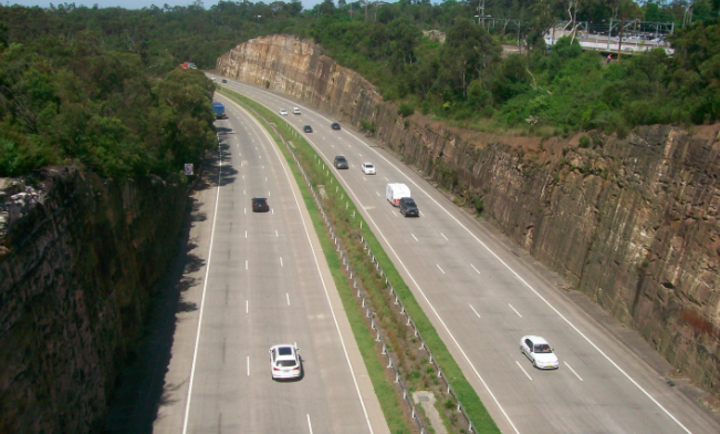

Jeff Pages is quite right that the topography and distance make a connection to Woy Woy from the Mount White interchange economically impractical (“Topography against Mt White road link”, PP 050).
The amount of traffic would never justify the cost of such a link, unless Woy Woy were built up like Manhattan Island.
However, it is possible to find an alternative route up the escarpment from the old abattoir site, bypassing Bulls Hill and connecting with Woy Woy Road on top of the plateau, thus eliminating all the worst length of Woy Woy Road.
It would be costly, but any solution to the Woy Woy Road alignment is going to be costly, if it is to work at all.
As Brisbane Water Drive becomes more congested, it will be worth looking at this option for access to the Peninsula.
The main drawback is that it will have to pass through Brisbane Water National Park, and this will be difficult to negotiate with those who, understandably, want to protect the natural environment of the park.
However, in a decade’s time when the need will have become more obvious, it should be possible to reach some compromise on this.
Given how long these projects take to bring to fruition, now is the time to begin investigations of the possibility, not in ten years’ time when the need will be urgent.
I understand that there might be some First Nation sites in the park that might lie in the path of such a route.
Obviously, this would have to be taken into account in the design process, but the local representatives of the First Nation people should be happy to participate in the exercise.
Who knows? Once such a link is in place, it might even be possible to consider a replacement of the Rawson Road level crossing – then, everyone will be happy.
Bruce Hyland, Woy Woy.